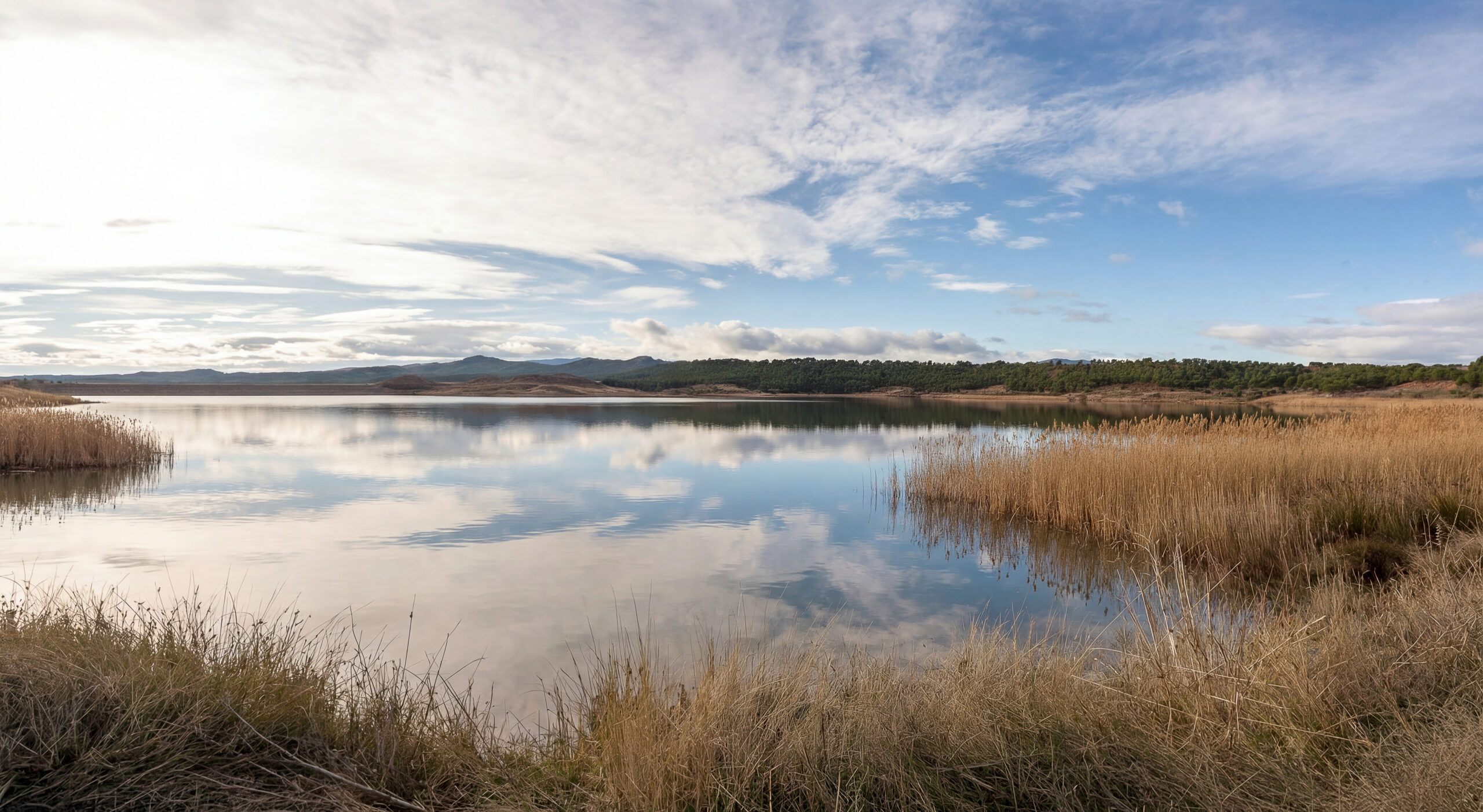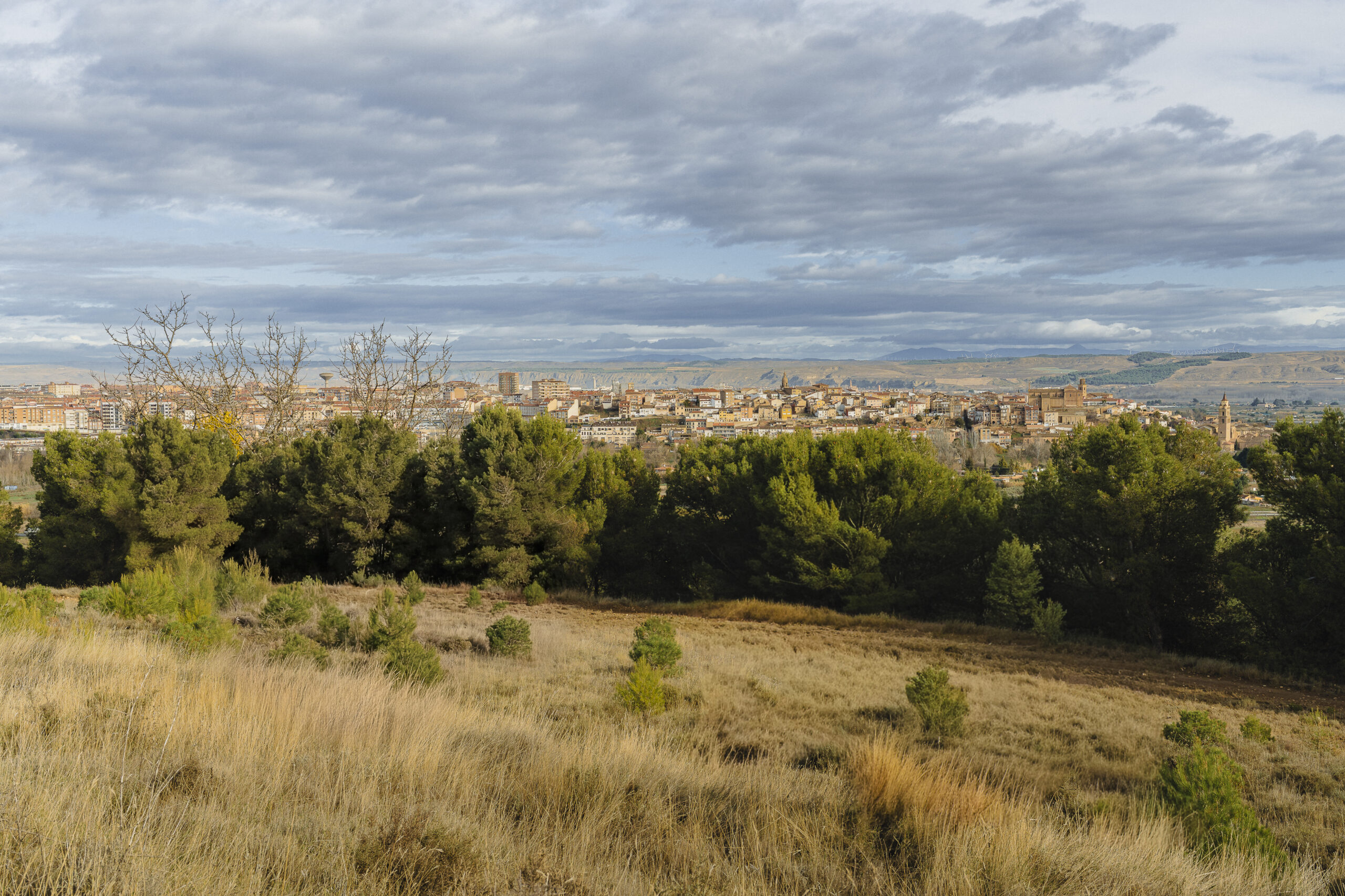
View of Calahorra from the Perdiguero Reservoir
A city situated in a strategic location
An urban landscape steeped in centuries of history
From this vantage point, one can see how the city has grown over time. At the highest point, one can make out the historic quarter, the heart of ancient and medieval Calahorra, clearly visible thanks to its commanding position.<\n
<\n
Against this backdrop, a number of key features stand out, helping to interpret the scene:<\n
- The Cathedral of Santa María, recognisable by its size and tower, situated in the heart of the historic centre.
- The tower of San Andrés, which stands out for its verticality and reflects the medieval urban expansion.
- The continuous urban frontage, with a compact grid of dwellings and tiled roofs, the result of gradual growth.
- The transition zones, corresponding to the 19th- and 20th-century urban expansions, where the building layout is more open.
These elements allow the city to be interpreted as a whole built in stages, where each historical period has left its mark on the landscape.
From its Roman past to the city of today
The landscape that accompanies the view
The panoramic view is not limited to the townscape. From the reservoir, one can also see the natural and agricultural surroundings that surround Calahorra. In the foreground lie the fertile plains of the Cidacos and Ebro rivers, whilst in the background features such as the Los Agudos hill stand out.
This combination of town, farmland, water and hills encapsulates the character of Calahorra. It is not merely a view, but an image that helps us understand how the landscape has shaped its history and development.