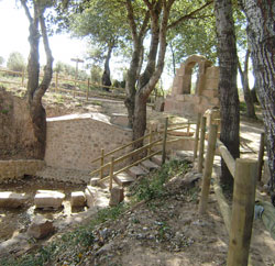
A 17.77 km route with 198 m of elevation gain and 198 m of elevation loss, designed as a medium-difficulty walk that combines river sections, woodland areas and sites of great scenic and historical interest.
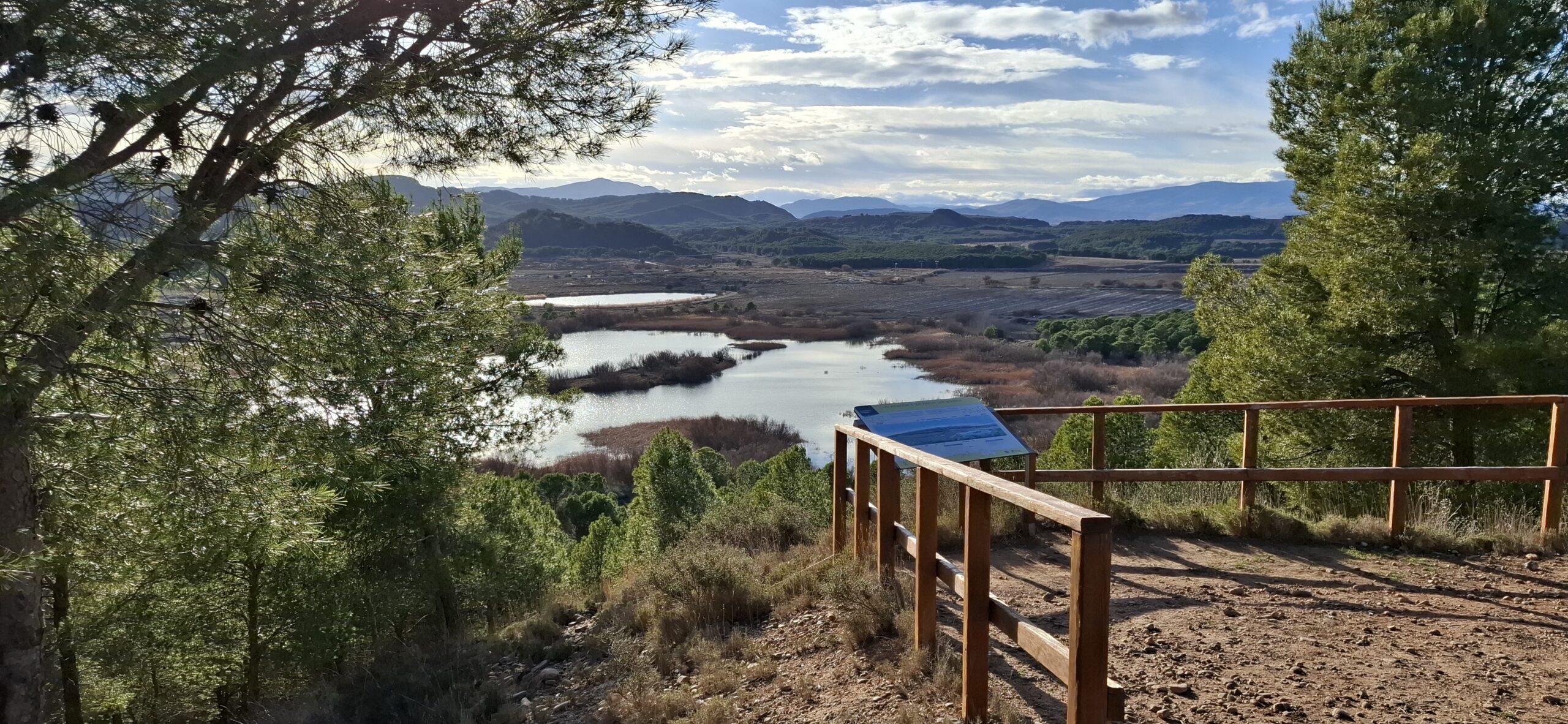
A 9.15 km route with an elevation gain of 32 m and a loss of 33 m, designed as a low-difficulty walk that mainly follows riverine environments of great ecological value.
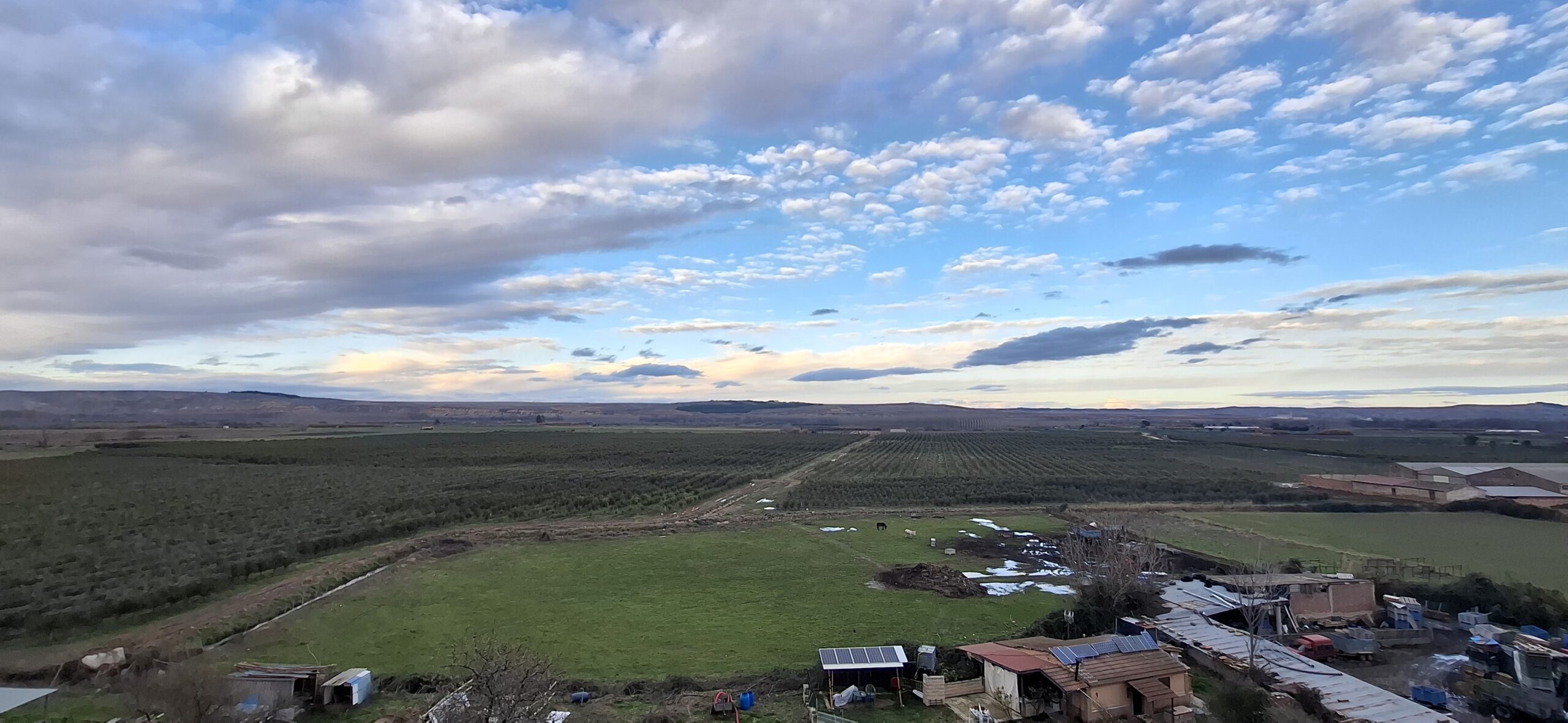
An 8.71 km route with a 50 m elevation gain and a 50 m descent, designed as a low-difficulty walk that combines riverside areas and wooded landscapes of great scenic interest.
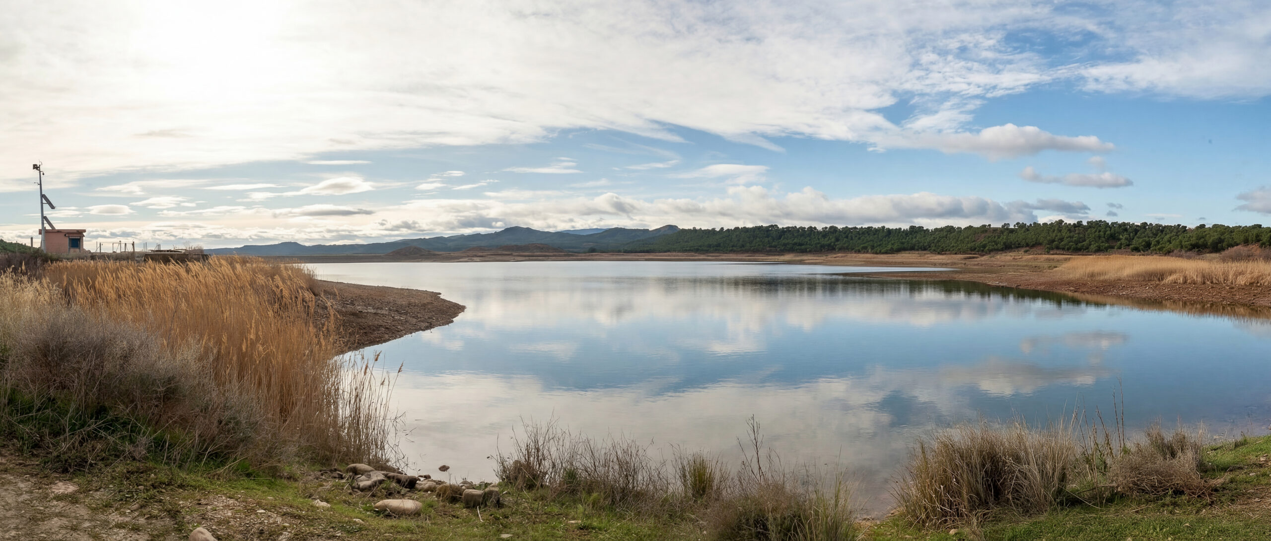
A 13.79 km route with 115 m of elevation gain and 115 m of elevation loss, designed as a moderate-difficulty walk at a leisurely pace.
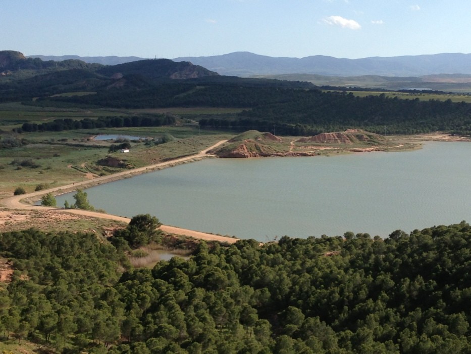
A 13.44 km route with an elevation gain of 80 m and a loss of 80 m, designed as a low-difficulty walk at a leisurely pace.
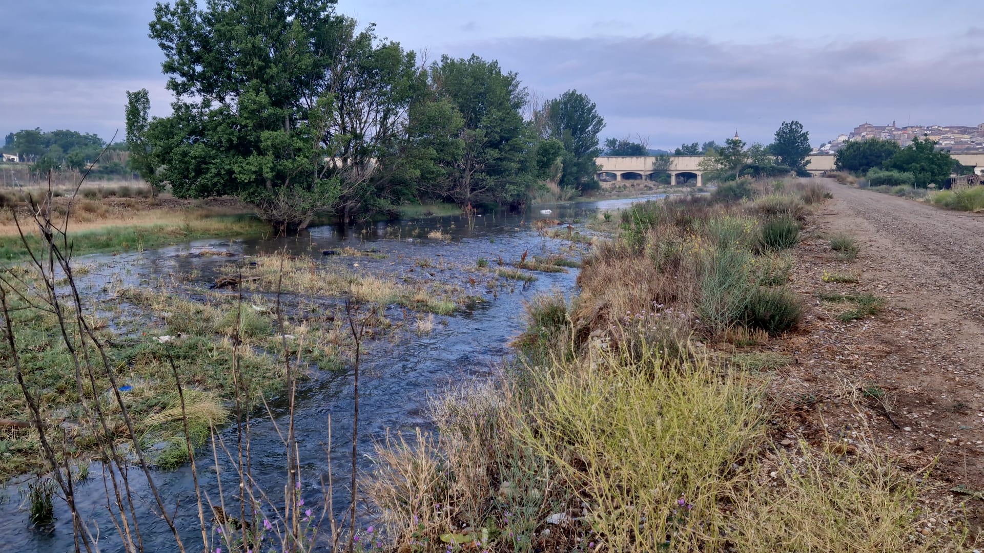
A 19.76 km route with 280 m of elevation gain and 134 m of elevation loss, designed as a medium-difficulty walk that combines river sections, wooded areas and spots with good views.
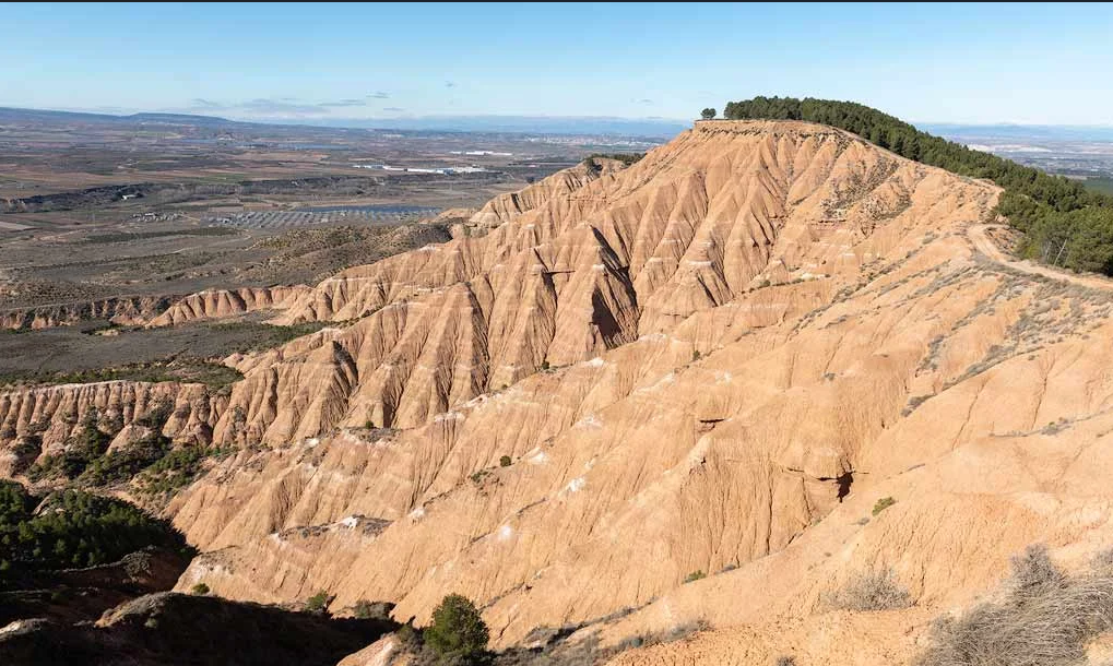
A 28.53 km route with 332 m of elevation gain and 292 m of elevation loss, designed as a medium-difficulty walk that combines river sections, wooded areas and natural viewpoints.
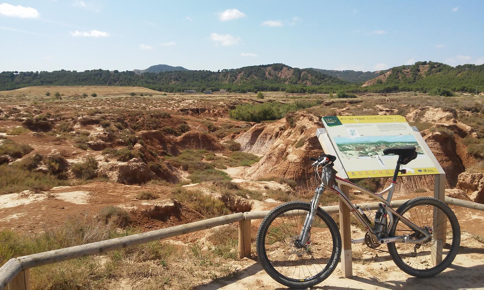
A 30.22 km route with 329 m of elevation gain and 309 m of elevation loss, designed as a moderately difficult walk through the open landscapes around Calahorra.
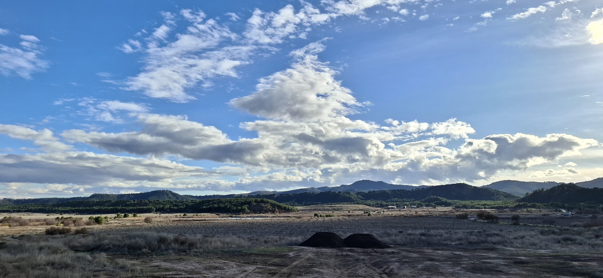
An easy 14.21 km route with a 153 m elevation gain and a 32 m descent, designed for a comfortable and accessible walk.
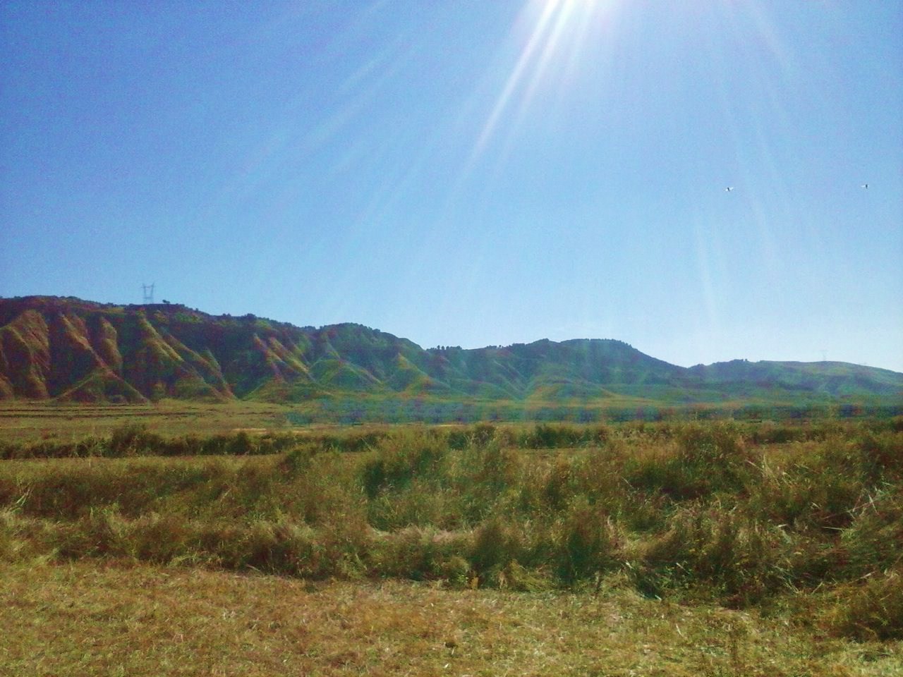
The route offers an accessible and pleasant walk through the natural surroundings of the Cidacos Valley, combining sections alongside the river, areas of traditional farmland and spots of outstanding scenic beauty.